3D Modeling, Stockpile Analysis, and Temporal Analysis
This project involved assisting the City of Murphy, Texas in an ongoing construction project. The city needed material to backfill a construction site, and had been collecting material in an offsite stockpile in preparation of this need. Once construction started, and the amount of backfill was determined, the City needed to know if their stockpile was sufficient for the project needs.
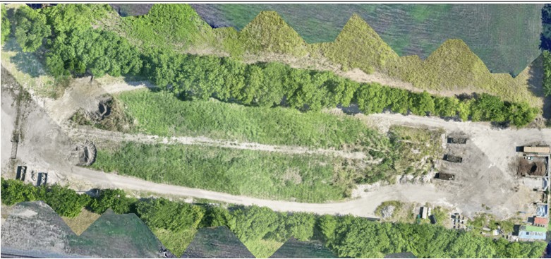
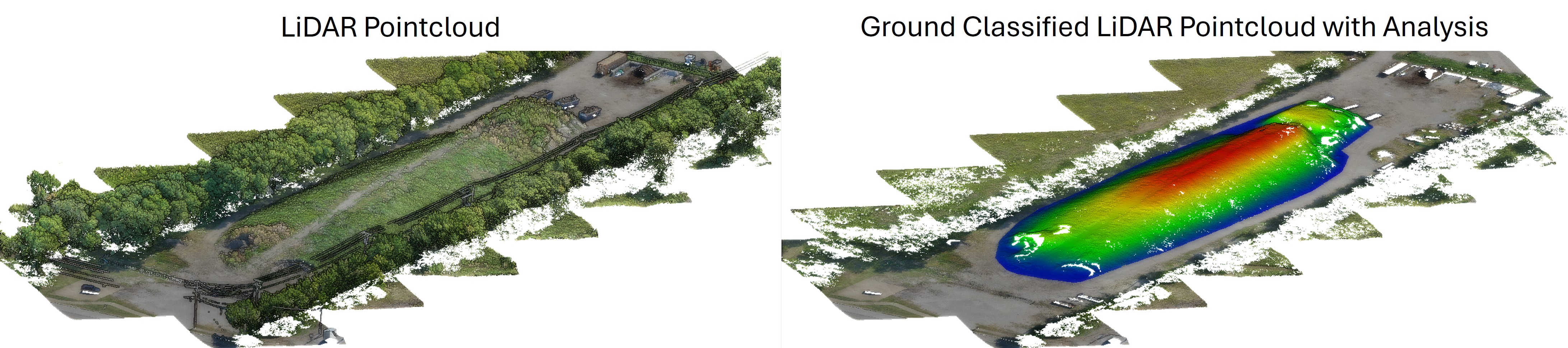
The pile and surrounding area were heavily vegetated. BHC used sUAS ("drone") based LiDAR to create a high-resolution three-dimensional model. This data was processed with a "bare-earth" classification to remove vegetation returns, allowing the current volume of the stockpile to be accurately calculated and verified as sufficient for project needs.
The stockpile was over 500 feet long and 130 feet wide. The LiDAR survey took just eight minutes to complete, and analysis results were provided to the client the same day. Project safety was increased as no one needed to physically contact the stockpile to collect data.
sUAS data provided a more complete dataset than traditional terrestrial LiDAR by collecting from a top-down view, allowing the full stockpile to be imaged faster and with higher resolution.
Client: City of Murphy
Location: North Texas Region
500+ ft
Stockpile Length
8 Mins
sUAS LiDAR Survey Duration
Analysis results were delivered to the client the same day. By eliminating the need for physical contact with the stockpile, project safety was significantly increased while capturing a comprehensive baseline dataset for future temporal tracking.