
Explore how BHC combines technical expertise with innovative technology to deliver high-impact, defensible solutions for municipalities and private partners across real-world projects.
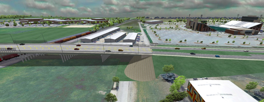
DNT to SH-289: Approximately 10,600 ft of four lanes of an ultimate six lane divided thoroughfare, with a 250 ft long, four lane separated grade crossing at the Burlington Northern & Santa Fe RR.
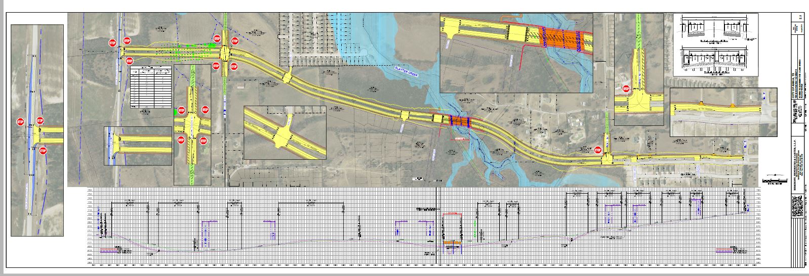
7,900 L.F. or four lane of ultimate six lane divided roadway with 400 ft long bridge over Slayer Creek.
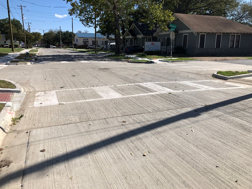
Replacement of existing asphalt section to a reinforced concrete section with 100-Year design for drainage & utility replacements.
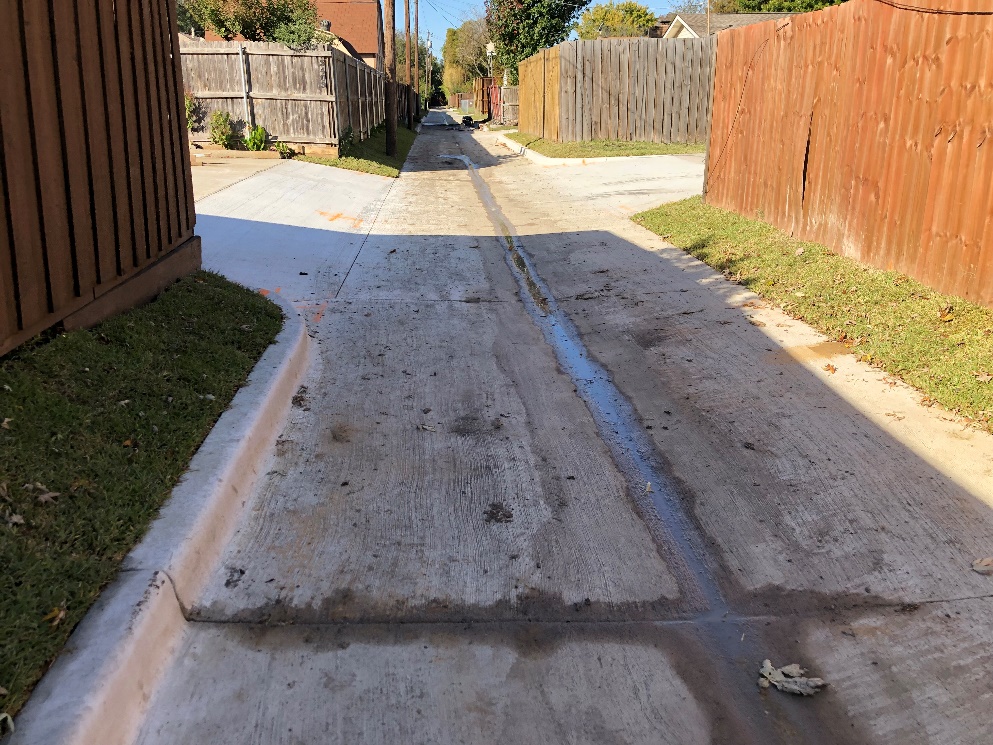
The length of the alley proposed for replacement is approximately 1,650 linear feet, and has a width of approximately 10 feet. The proposed alley design will be an inverted 8-inch x 5-inch x 8-inch (3-inch invert) reinforced concrete pavement section with a lime stabilized, compacted subgrade.
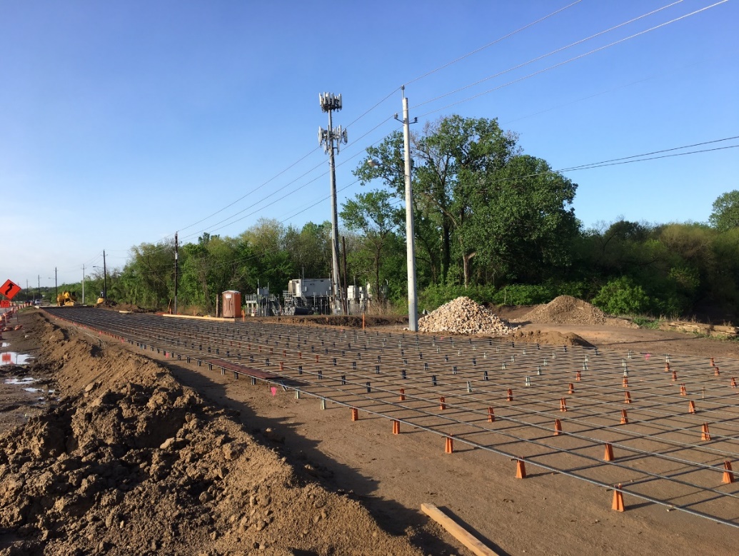
Preparation of construction plans and specifications for paving and drainage improvements to MacArthur Boulevard from IH-30 to the Trinity River. Overall length of project 4,700 linear feet.
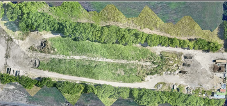
Discover how sUAS LiDAR and rapid 3D modeling safely delivered same-day volumetric calculations and bare-earth analysis for an ongoing municipal construction project.
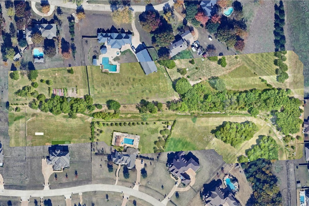
Learn how sUAS LiDAR and advanced GIS hydrological modeling were used to investigate creek flooding, map accurate bare-earth topography, and guide municipal remediation efforts.
Key discussions on local government leadership and municipal engineering.

In this episode, municipal engineer Craig Kerkhoff discusses how city leaders can proactively manage hidden infrastructure challenges, navigate political and financial decisions through master planning and rate studies, and secure sustainable, long-term funding for their communities.

Listen to Episode #75 featuring discussions on driving municipal success, public sector innovation, and navigating modern civil challenges.