3D Modeling, Basin Analysis, and High-Resolution Imaging
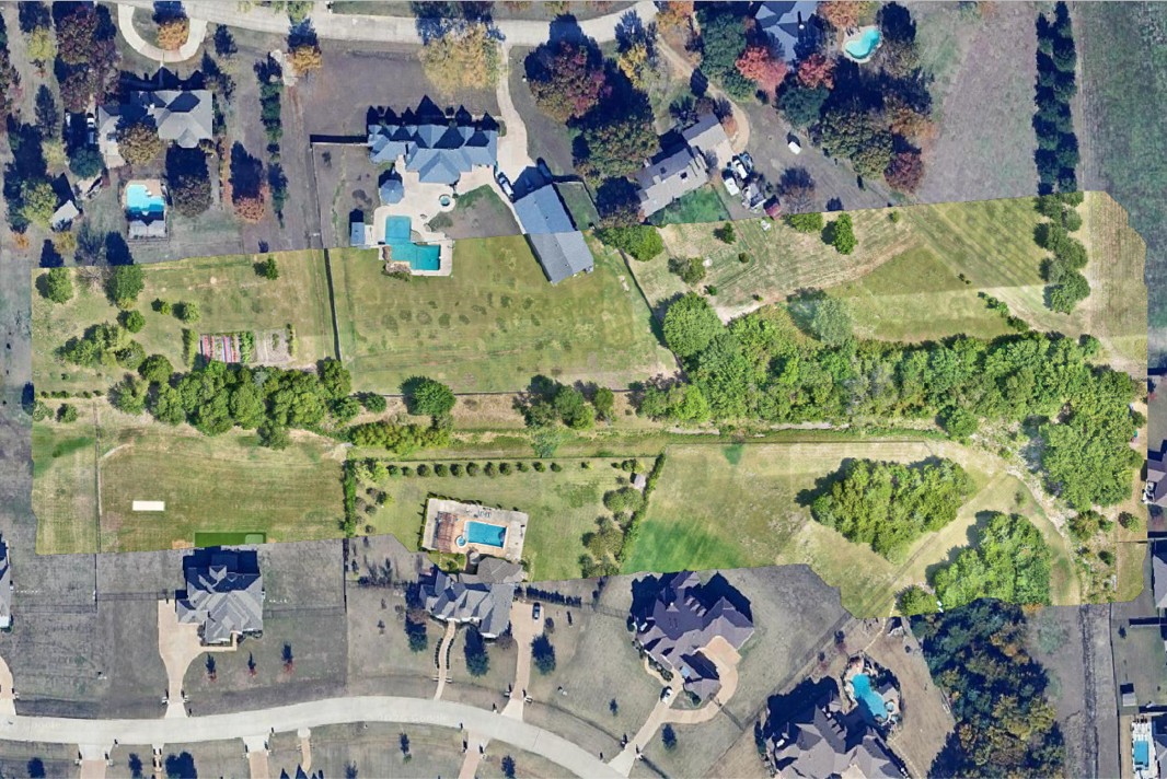
This project involved assisting the City of Parker, Texas with stormwater management. Residents had reported flooding and drainage issues during high flow events along a creek in an area that had been previously mitigated by the city. To properly address these concerns, the city needed to understand the current topography and potential flow patterns.
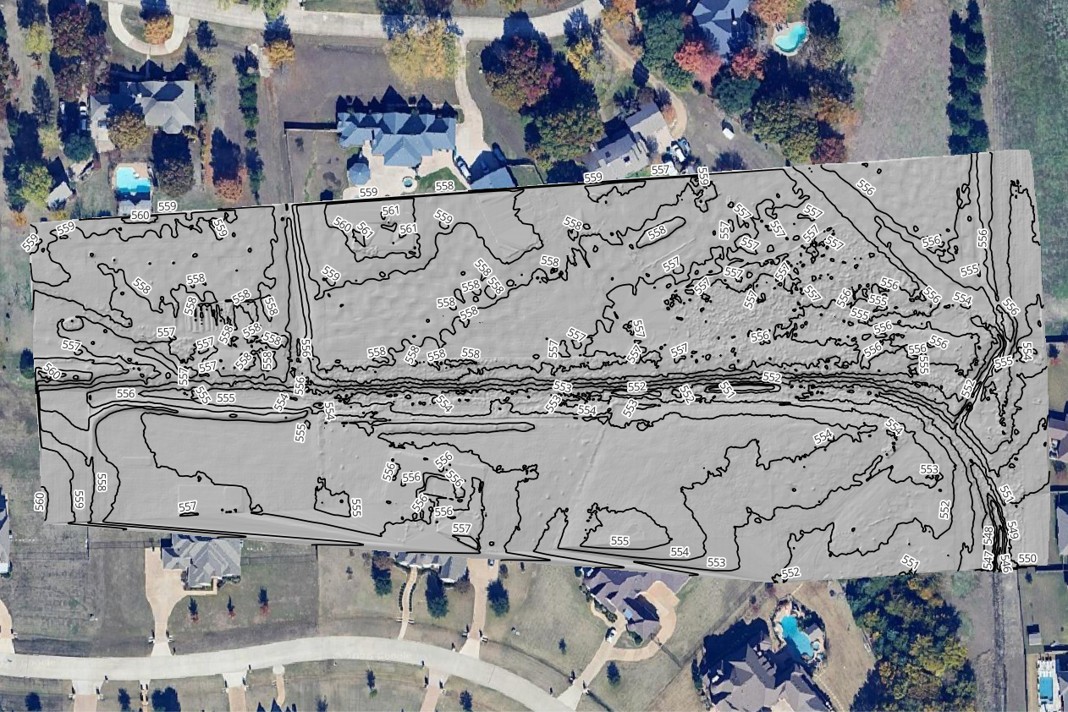
BHC used sUAS ("drone") based LiDAR to create a high-resolution three-dimensional model of the creek. This data underwent advanced processing, including a "bare-earth" classification to strip away vegetation returns. sUAS LiDAR proved ideal for this application, penetrating dense foliage to collect precise ground data that traditional surveys or terrestrial LiDAR could not safely or thoroughly access.
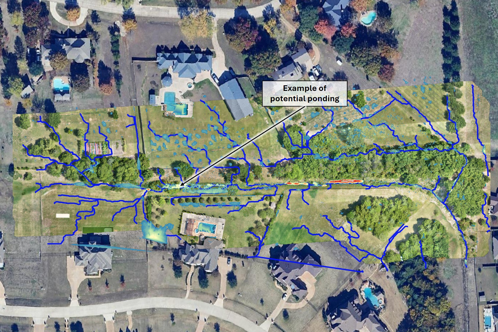
Using BHC’s advanced GIS methodologies, the surface data was transformed to model hydrological basins and channels throughout the area. Furthermore, specific zones prone to local ponding were modeled and highlighted to give engineering teams precise targets for future remediation.
The resulting database provides the City of Parker with a dependable baseline for tracking the evolution of the stormwater system over time as infrastructure adjustments are made.
Client: City of Parker
Location: North Texas Region
sUAS LiDAR
Bare-Earth Topography
GIS Modeling
Basin & Ponding Analysis
By leveraging advanced sUAS data capture and sophisticated hydrological modeling, BHC equipped the City of Parker with the actionable insights required to safely guide future drainage remediation efforts and protect local neighborhoods.