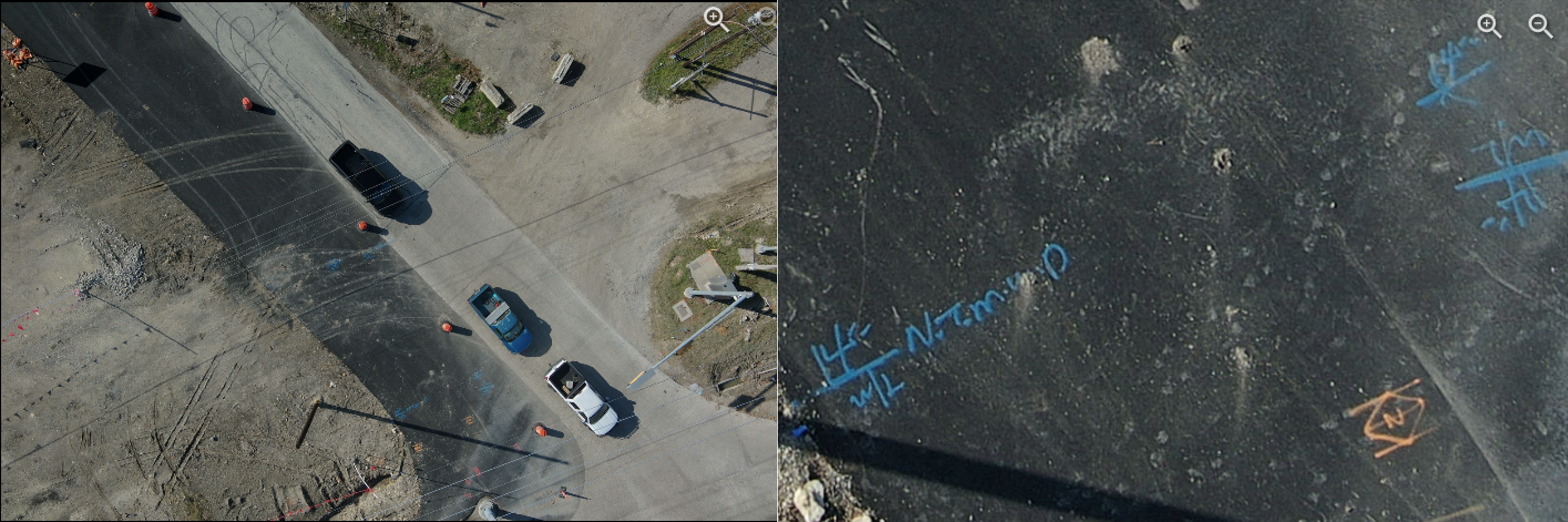
BHC pairs traditional civil engineering judgment with modern data collection — unmanned aircraft systems, photogrammetry, and survey-grade geospatial processing — to give municipalities faster, richer, and more defensible data.
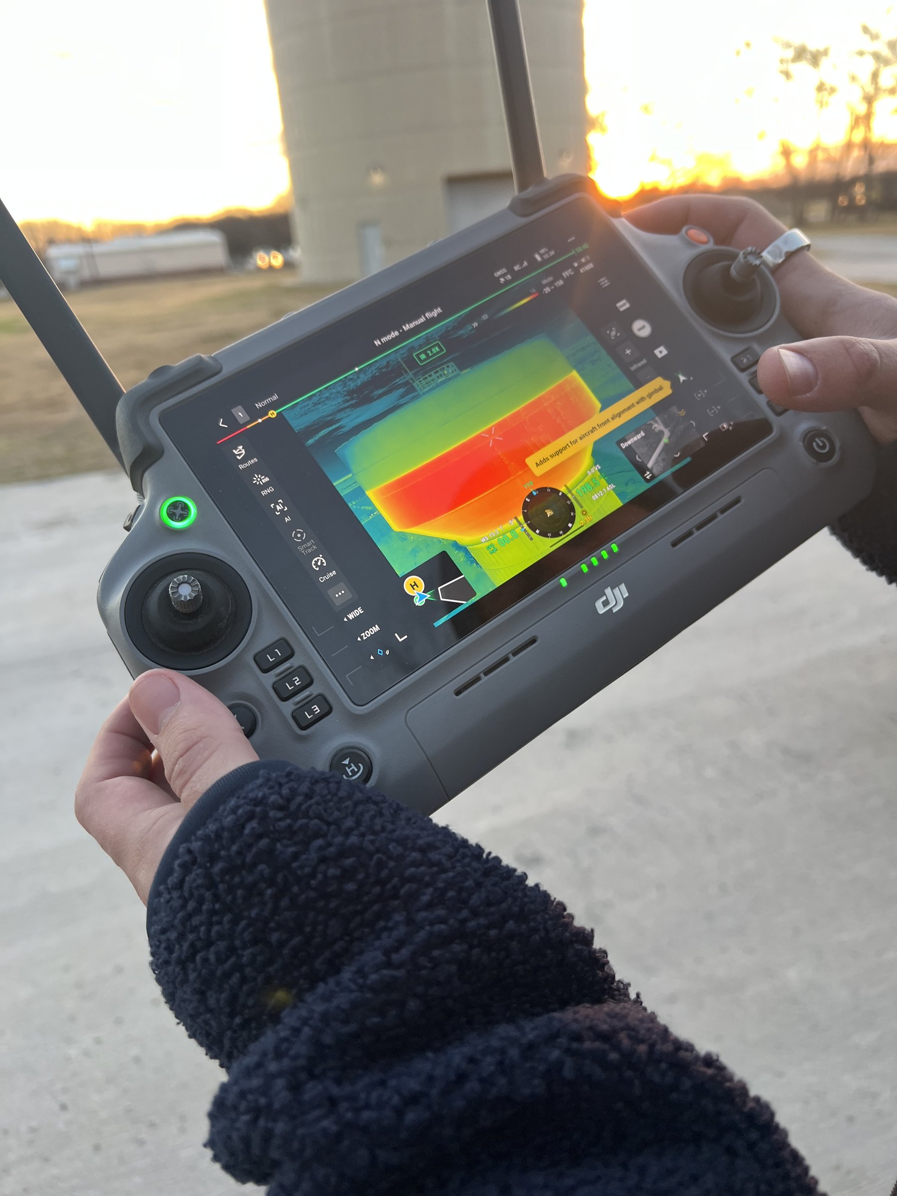
High-resolution orthomosaic imagery and 3D surface models from UAS flights, tied to ground control for survey accuracy.
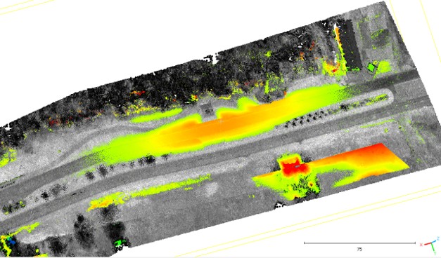
Digital terrain models and point clouds supporting drainage studies, design surfaces, and earthwork quantities.
Geospatial deliverables your staff can actually use — clean, documented data integrated with municipal GIS systems.

Leverage advanced deep learning workflows to automatically extract assets from imagery and point clouds, making them ready for immediate municipal asset management.

Remote-sensing data merged with conventional boundary and topographic surveys under licensed oversight.
Explore live, interactive maps and dashboards built by our geospatial team — served directly from ArcGIS Online.
Share the dashboard publicly in ArcGIS Online, then add its URL to the DASHBOARDS list in this file — for example https://www.arcgis.com/apps/dashboards/<ITEM_ID>. The embed keeps full interactivity and Esri's own attribution.
Dashboards are hosted on ArcGIS Online and embedded here — visitors can pan, zoom, and filter without leaving the site.